Matsumoto’s Old Kaido Roads: On the Trails of History
During the Edo Era (1603-1868) the Japanese landscape was marked by an extensive network of old kaido roads– rugged trails used as transport routes, pilgrimage paths, and roads for the feudal lords traveling to and from Edo.
There were five major kaido emanating outward from the capital city, and while none of these five ‘Go-Kaido’ passed through Matsumoto, four other important kaido did. These trails of history have largely been either paved over or simply lost to the march of time, but remnants of evidence do remain. Today we’re going to find them as we take a walk along Matsumoto’s old kaido roads.
Zenkoji Kaido
Zenko-ji is one of Japan’s oldest and most sacred temples. Located in the present-day city of Nagano, this temple is said to house the first statue of Buddha ever brought to Japan, and has thus been an important pilgrimage site for over a thousand years.
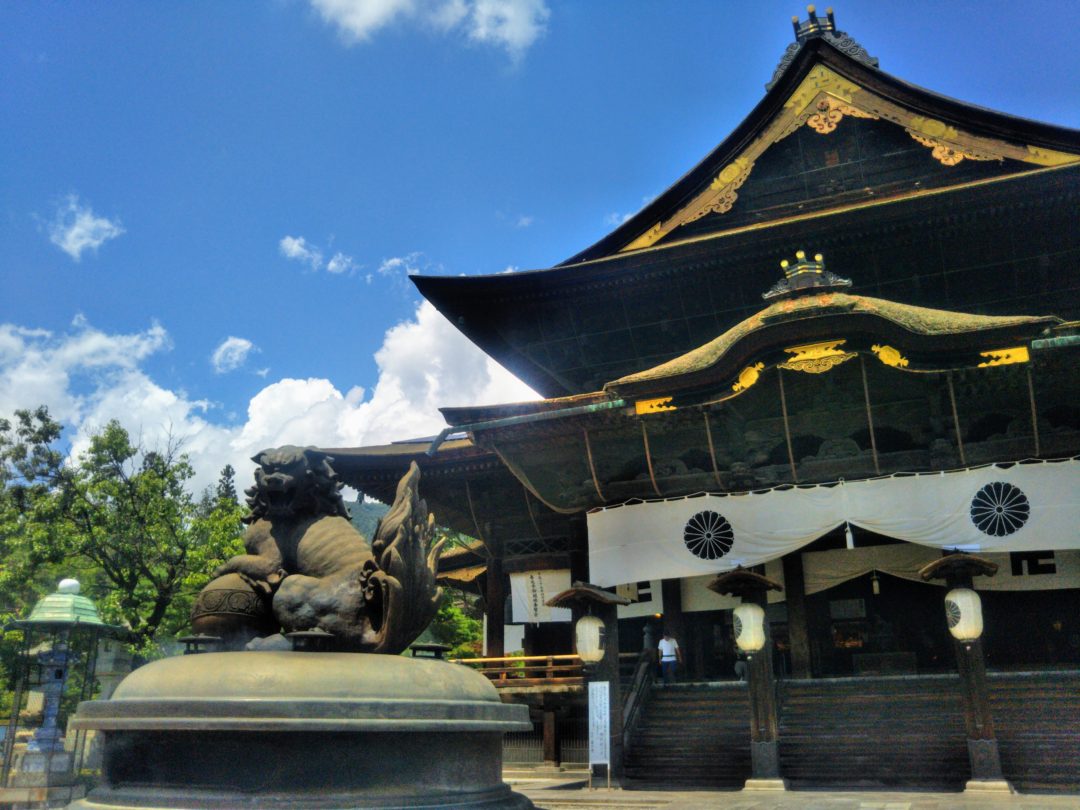
Zenkoji Temple in Nagano City
There were two major pilgrimage roads leading to Zenko-ji, both of them offshoots of the famed Nakasendo. One route originated in eastern Nagano in what is now Karuizawa. The other started south of Matsumoto in Seba, just west of Shiojiri. This latter route, also known as the Hokkoku Nishi-Ohkan, cut an impressively straight line from Seba up to the Idegawa Ichi-ri-tsuka on the west bank of the Tagawa River.
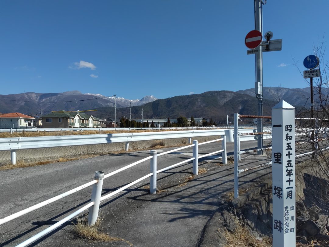
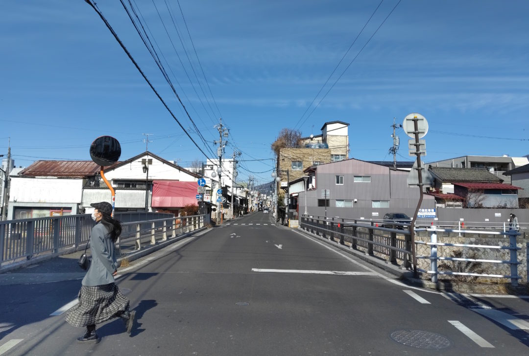
From the Ichi-ri-zuka the Zenko-ji Kaido crossed the Tagawa and Susukigawa Rivers and, at the north end of the Sakae-bashi Bridge, rolled right through the southern gate of Matsumoto’s old castle town.
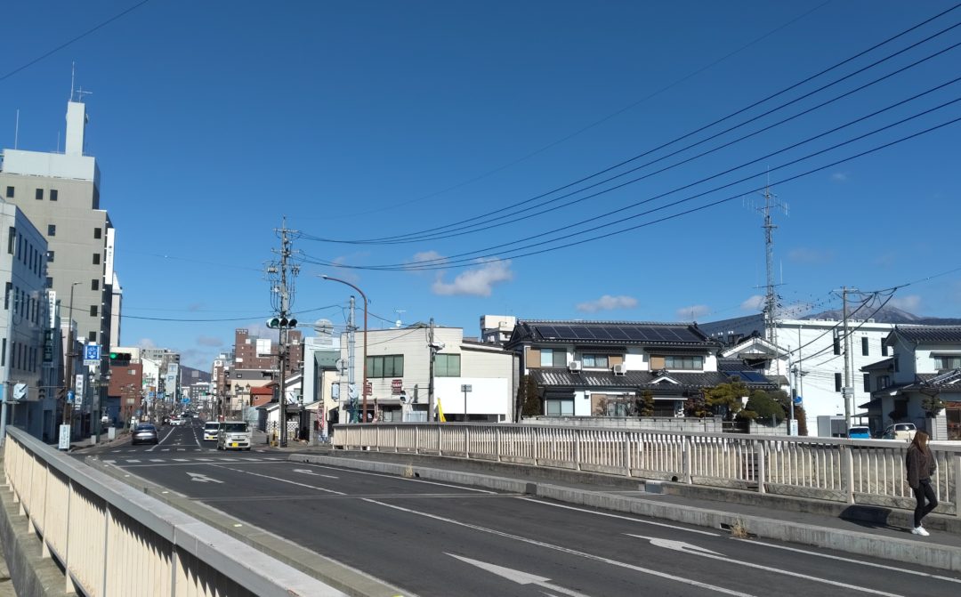
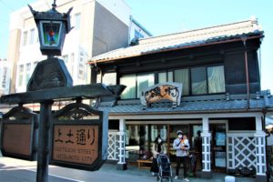
The old road, now a newish road, continues in a straight line, past clues to the path’s former glory and up to the merchant street of Nakamachi-dori, the best-preserved and most attractive stretch of the Zenkoji Kaido.
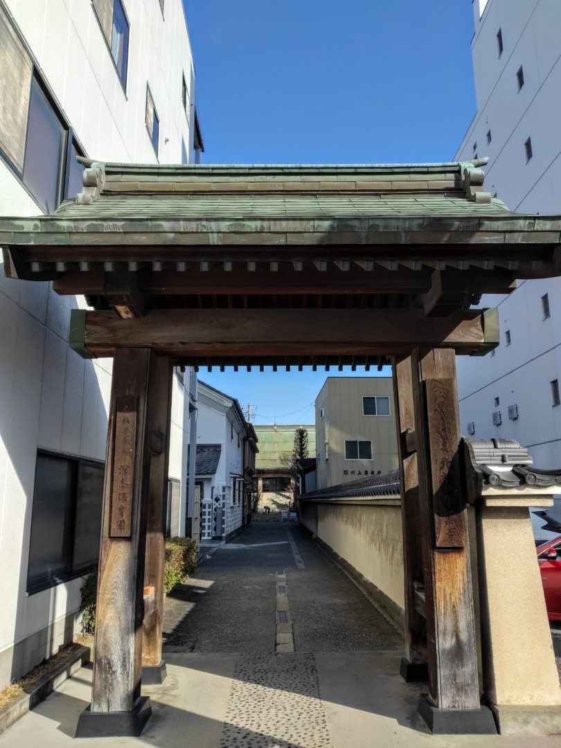
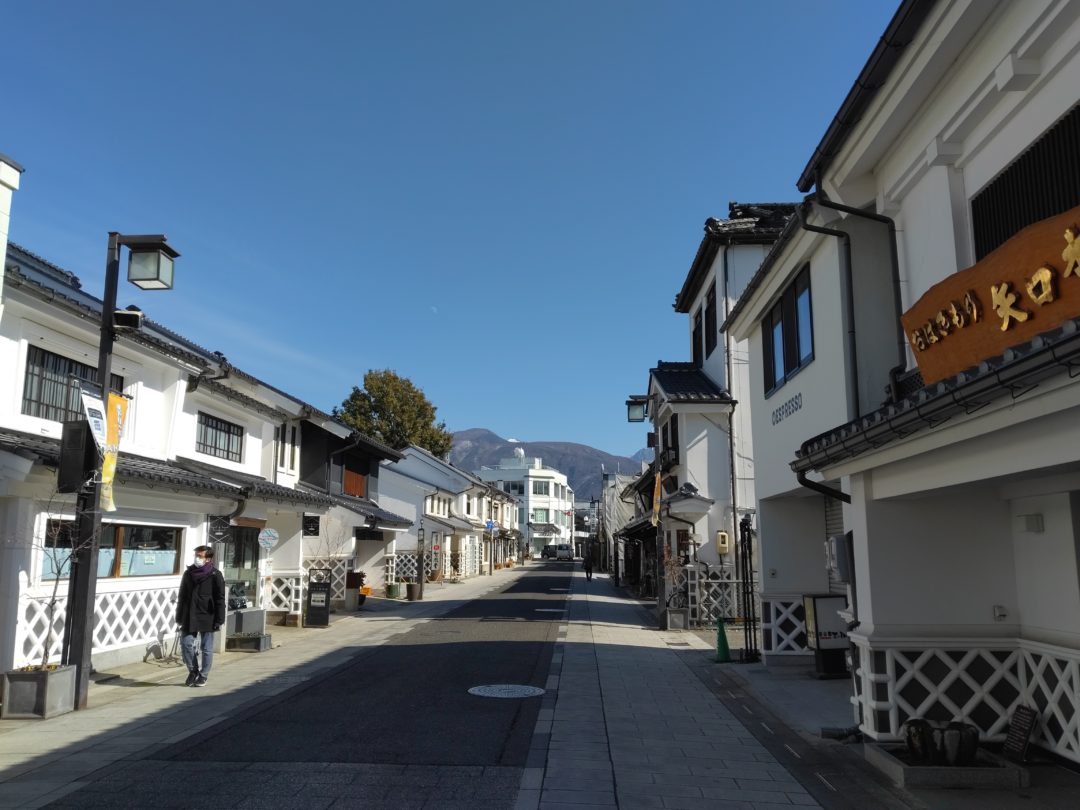
Nakamachi Street on the Zenkoji Kaido
At the far end of Nakamachi Street the kaido turns left over the Ohashi Bridge (‘Big Bridge’ which it might have been back in the day) and gently zig-zags north out of town, through Okada-juku and into the hills and on toward Zenko-ji Temple.
Hofukuji Kaido
Near the site of the former northern control gate to Okada-juku there’s a stone in a fork in the road. This stone marks the place where the Hofukuji Kaido split off from the Zenkoji Kaido.
Also known to some as the Edo Kaido or the Higashiyama Kaido, this was the route the lords of Matsumoto Castle would use when traveling to Edo to meet with the shogun.
After following the Metoba River east for a short stretch, the Hofukuji Kaido led north up over the Shinagura Pass and down into Shiga. There it turned east once more, following the Hofukuji River past Hofuku-ji Temple and the Satoyama Villa where the castle lord and his entourage would stay the night.
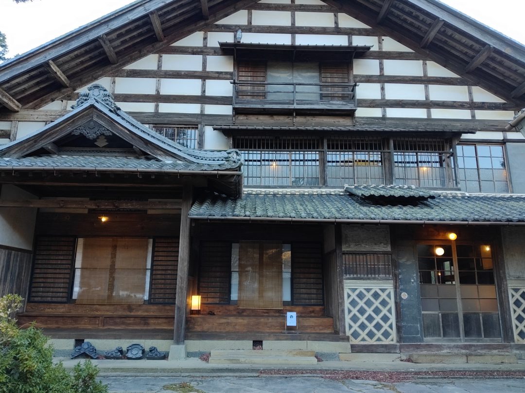
Satoyama Villa Honjin
Nomugi Kaido
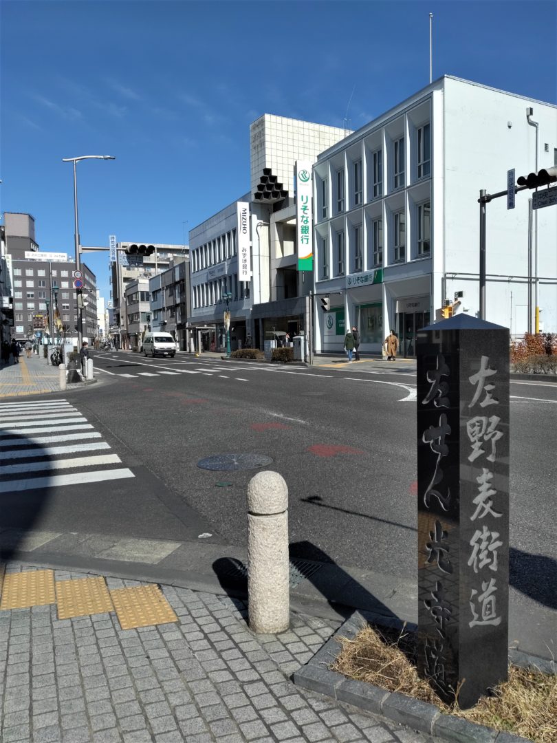
Just before the Zenko-ji Kaido turns right onto the merchant street of Nakamachi-dori it passes the eastern end of the Nomugi Kaido. This old trade route actually originated in Toyama, along the Sea of Japan. From Toyama to Takayama it is known as the Hida Kaido. The stretch that leads from Takayama up over the mountains and down to Matsumoto is known as the Nomugi Kaido.
This route was crucial in transporting fish, particularly yellowtail, from the sea to the landlocked regions of Hida and Matsumoto-Shinshu. There were actually several paths over the mountains, which are lush with a kind of broadleaf bamboo called kumazasa, whose fruit was used by the people of Hida to make a sort of sticky dough called ‘nomugi’.
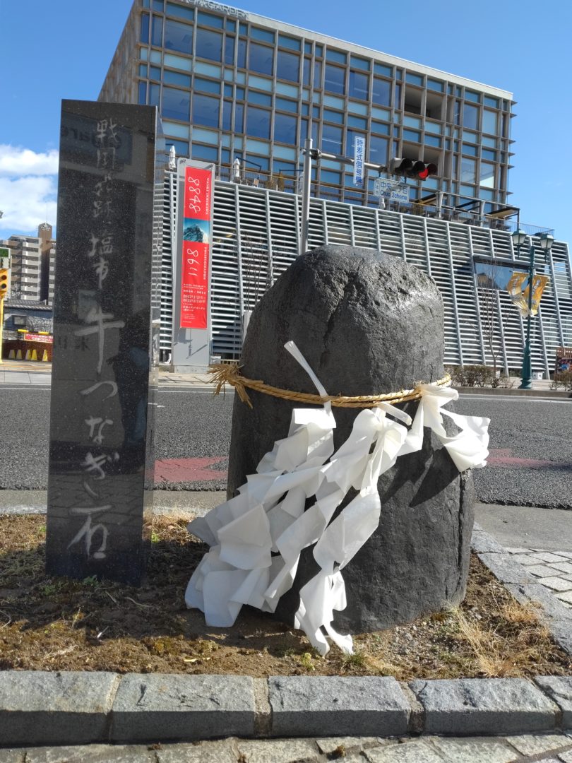
Where the Nomugi Kaido meets the Zenkoji Kaido there is a stone decorated with a shimenawa, the straw rope normally seen hanging from Shinto shrine gates. This stone is known as the Ushi-tsunagi, or “steer-tying stone”. As the story goes, oxen used to transport yellowtail and other goods to Matsumoto would be tied to this stone while they were being unloaded. On the opposite corner you’ll see a black stone pillar engraved with the characters for “Nomugi Kaido This Way” and “Zenkoji Kaido That Way.”
Chikuni Kaido
Also known as the Shio-no-michi (“Salt Road”), the Senkoku Kaido, the Matsumoto Kaido and a few other names, this 120-kilometer trade route was used to transport salt and seafood from Itoigawa on the Sea of Japan south to Matsumoto.
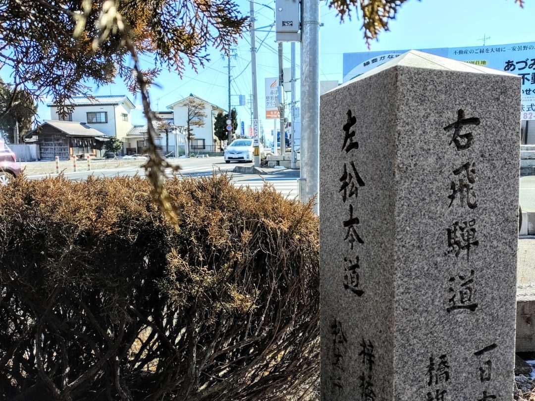
The Chikuni Kaido runs into the Nomugi Kaido, though exactly where seems a mystery lost to time. What is known is that a post town once existed just north of Matsumoto, in the area where Toyoshina Station now stands. About one ri (remember?) south of this area there is, hiding among the bushes at an intersection along Route 316, an old stone marker indicating that the road ahead leads to Matsumoto while the road to the right leads to the Hida Kaido – ostensibly via the Nomugi Kaido.
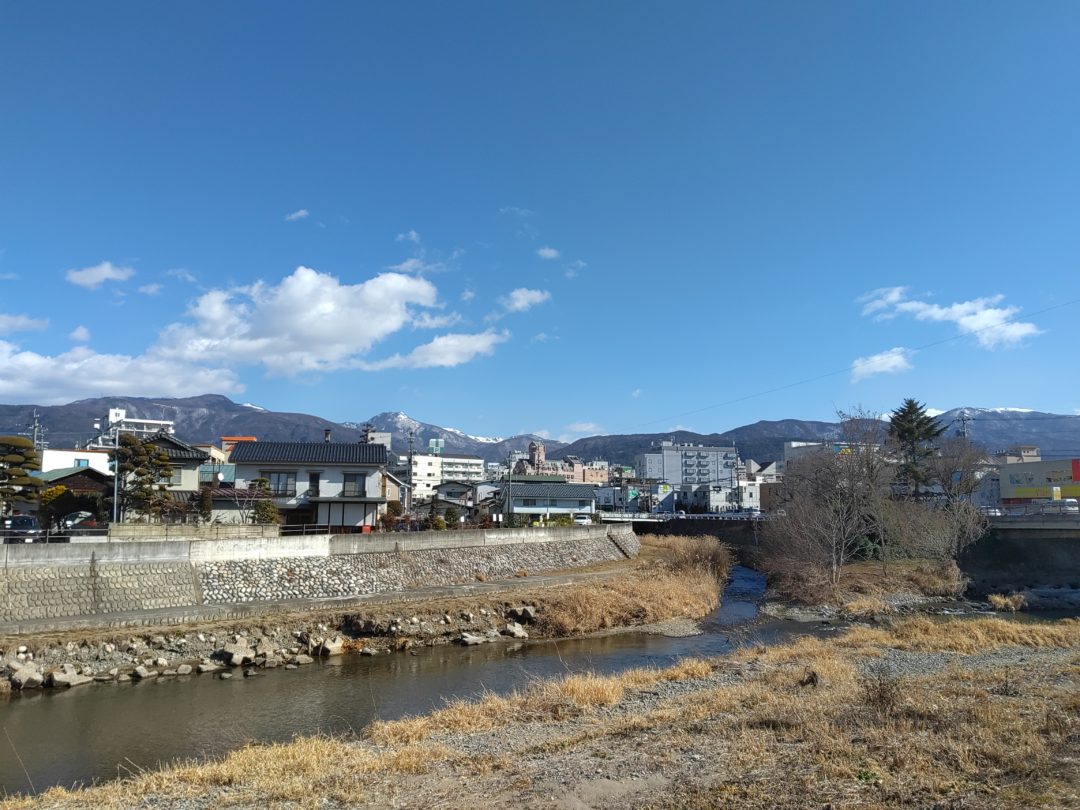
From here we might speculate that the Chikuni Kaido continued south along the path now known as Route 316, crossing the Azusagawa River about where the present Azusagawa Bridge spans a wide bed of rocks and scrub and a little bit of water. As the path nears town it seems to have split into several paths, to accommodate the villages scattered around the outskirts of town.
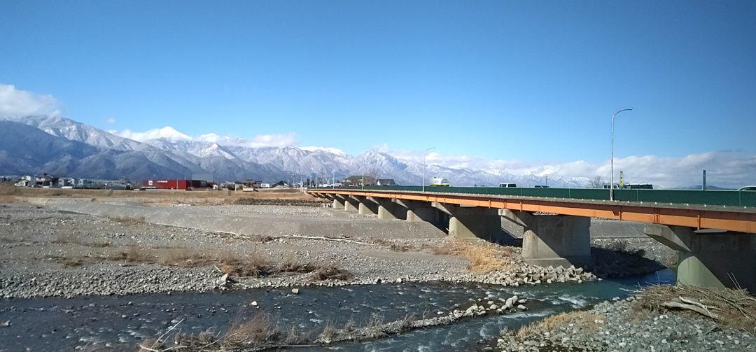
The Azusagawa River
Go Exploring! Matsumoto’s old Kaido roads
With a keen eye and a little guidance you can see for yourself the lasting evidence of Matsumoto’s old kaido roads. By all means visit Nakamachi Street, the well-preserved highlight of these trails of history. To discover more secrets, drop us a line. We’ve got so much to show you!
Author Profile

Latest entries
 Events2024-07-19Bon Bon Girls & Aoyama-Sama Boys: A Centuries-Old Matsumoto Tradition
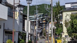 Sightseeing2023-12-18Handmade Soba, Simple Hiking & Hot Springs, All in Asama Onsen
 Seasonal Topics2023-12-04Winter Wonderland: 5 Ways to Put Your Feet in the Matsumoto Snow
 Other2023-07-14Shinshu Matsumoto Airport: Gateway to the Center of Japan